


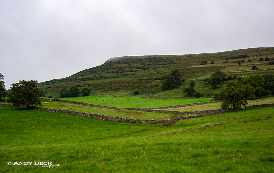
Knipescar Common
Summary: Knipescar Common was featured by Wainwright in his Outlying Fells of Lakeland book and it is located just to the east of the village of Bampton Grange. It is a flat area of limestone which rises up above the valley, Knipe Scar itself refers to the exposed edge of this rock which can be seen from below. The vegetation is rough pastureland grazed by sheep but there are some extensive areas of gorse and bracken. The limestone pavement on the flat summit area is not of the quality to be found elsewhere and does not provide good subject material for photographs or paintings. A visit to the fell can provide a short walk which will hardly tax the energy levels. The fell can be accessed either via the lane past Scarside farm or by the open access land of Knipe Moor.
Topographical details: Wainwright gave the height as 1118′ and this indicates his Wainwright summit as being the O.S. buried block with a concrete ring at GR: NY 5263619146. More recent surveying shows the actual highest point as being at GR: NY5266719117 and as 1122′ 342m an unmarked location 40m to the south-east on the edge of the scar.
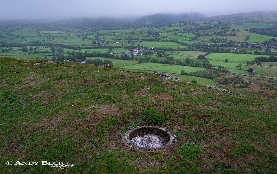
Knipescar Common summit
Points of interest: The views to the east are nonexistant due to the enclosed forest and those to the west show the High Street range but at a distance. The lime kiln on the fell near the end of the Scarside lane is worth a short visit. The stone circle is now overgrown and only worth finding if you have time on your hands.
Tarns: none
Waterfalls: none
Adjoining fells: none
Nearest facilities: Car parking very limited at the end of Scarside farm lane, be considerate of local traffic. Better to park in Bampton Grange village. Food and accomodation at The Crown and Mitre Inn , Bampton Grange.
Star rating: (1.2 / 5)
Check walks on this fell:
3/9/18 Knipescar Common from Scarside lane
Back to The Lakeland 365 area map.